You don't have to look too hard to find an iceberg in Greenland. This one drifted into the harbor (in August).

Someplace Cold
Not too many people go here. This is Ilulissat, on the west coast of Greenland. The walls and ceiling of the airport building are insulated against the cold. The runway is about the size of a postage stamp.

Not a Sunny Day
Spectacular view from the Bolungarvik radar station at the Westfjords.

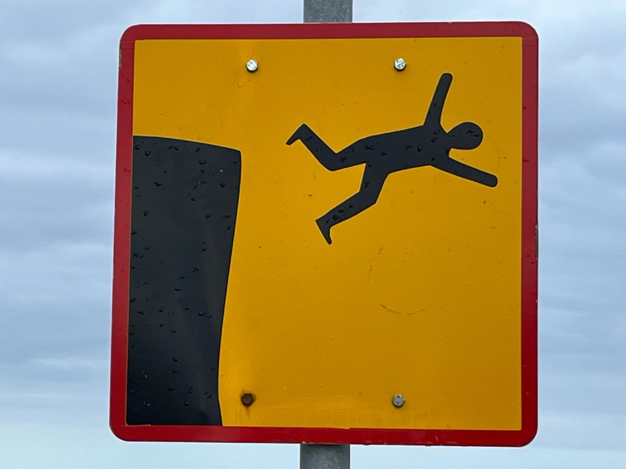
Encouraging Road Sign?
Not entirely sure what this Iceland road sign is encouraging. Lover's leap?
Awesome Mural
A nifty mural on the side of a house in Flateyri, in a very distant corner of NW Iceland.

Shuttle Service
The only way back to civilization from the Hornstrandir Nature Reserve is via a one-hour ride on this shuttle service. They use the Zodiac on the stern to pick you up from the shore.

A Little Kayaking in the Rain
View across Lonafjordur from our sea kayaks; still in the Hornstrandir Nature Reserve in Iceland. And yes, it rained. A lot.

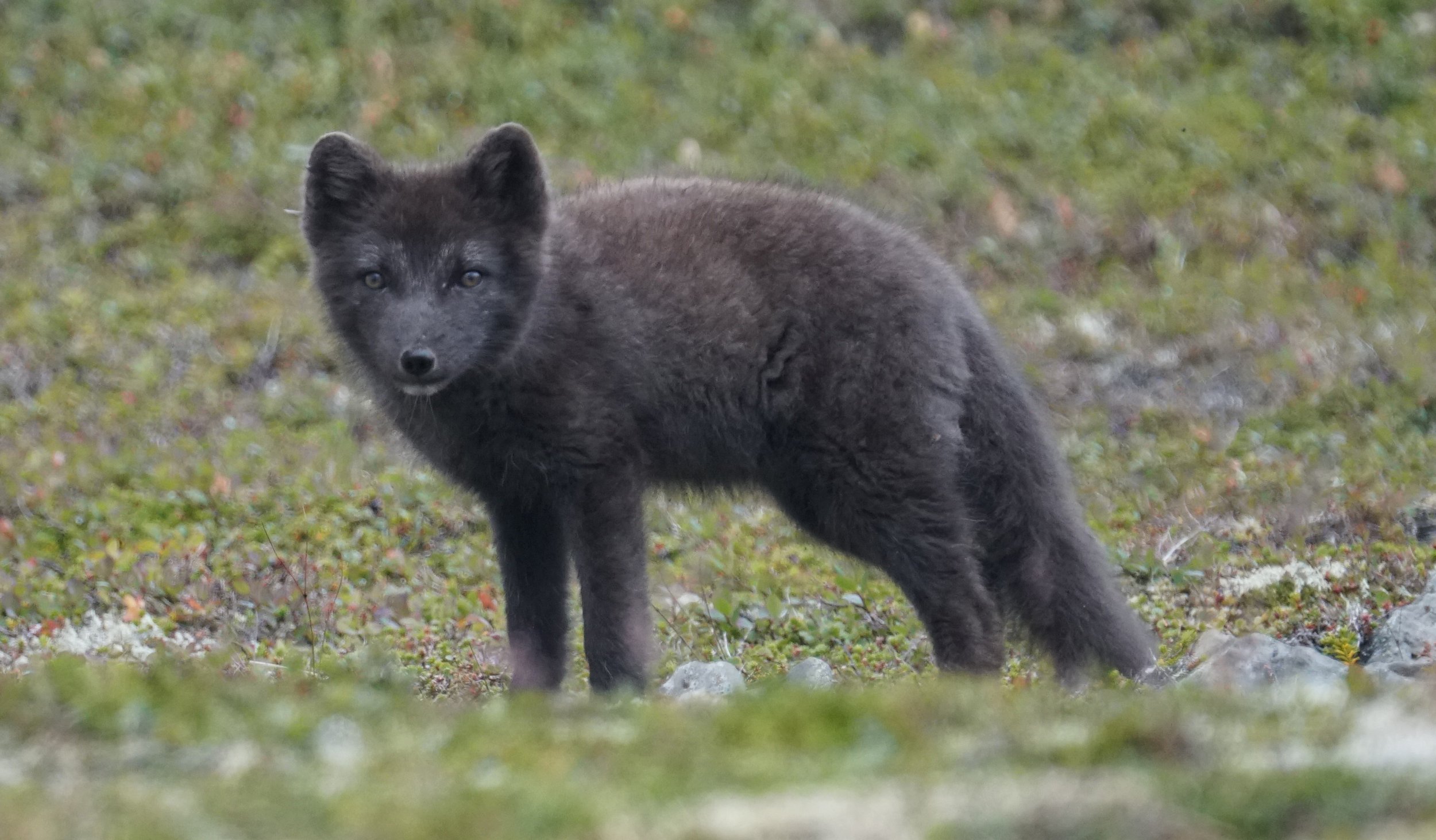
Arctic Fox Time
And why do we go to the Hornstrandir Nature Reserve? To photograph arctic foxes. It can take hours, but this guy just trotted right up - about 10 yards away.
Hornstrandir Farmhouse
There are a couple of converted farmhouses left in the Hornstrandir Nature Reserve. We stayed for a couple of nights in this one. A bit rough, but it had solar panels and a sauna in the rear.

Finished with the Laugavegur
Finally done with the Laugavegur Trail. This 4wd bus took us out, covering maybe 10 stream crossings before we reached a paved road.

High Winds and Then Some
The Laugavegur Trail passes by two ice-covered volcanoes. This one has some pretty high winds on it. The multi-layered clouds are pretty wild.

Lava Everywhere
Yep, that’s a lava plain. The Laugavegur runs straight through it for about five miles. You can just see an ice cap far ahead and slightly to the right.

Iceland Fog
The problem with the Laugavegur Trail is the highlands section, where this band of fog sits most of the time. Even with marker wands, I still needed a GPS to find a way through.

Laugavegur Side View
This is one of the most iconic spots in Iceland, and lies about a two hour hike in on the Laugavegur Trail. The color of the moss on the mineral deposits is just fabulous.

Moss Everywhere
Right away, the Laugavegur Trail wanders through masses of moss, some of brilliant green. This moss overlays multi-colored mineral deposits, making for quite the panorama.

Landmannalaugar Camp
The Laugavegur Trail starts at the Landmannalaugar Camp, which is accessed via a four-hour bus ride north and east from Reyjavik. Many tour groups come in on these four-wheel-drive buses and begin by staying overnight. Other parties backpack in about eight miles to the first hut, and either rent a bed there or camp outside.

The Laugavegur!
I've just returned from hiking the Laugavegur Trail in the uplands area of Iceland, which is commonly ranked in the top 25 best hikes in the world. More photos coming. 34 miles, 6700 vertical feet, 25 hours total (including camping).

Rain Everywhere
Storm clouds approaching on the Slea Head area in Ireland. And yes, we got rained on about ten times that day.

Rocks Everywhere
This is a pretty common site in Ireland; stone walls everywhere. And there are tons more rocks lying around.

A Tad Windy
So, from what direction is the wind blowing? Tree on the Irish coast.
